Gudauri
Natural avalanches are possible, human-triggered avalanches are likely. Small avalanches in many areas, or large avalanches in specific areas, or very large avalanches in isolated areas.
More high snow / low rain over the next 3 days plus strong S winds up high. The main problems continue: wind slabs high up, wet snow avalanches in many areas, and an old persistent layer still lurking at the base of the snowpack.
Forecast issued at: 9 April 2025 09:30
Forecast valid until: 12 April 2025 09:30
Forecaster: Manu Greer
High Alpine
> 2600m
3 Considerable
Dangerous avalanche conditions. Careful snowpack evaluation, cautious route-finding and conservative decision-making essential.
Alpine
2000m - 2600m
3 Considerable
Dangerous avalanche conditions. Careful snowpack evaluation, cautious route-finding and conservative decision-making essential.
Sub Alpine
< 2000m
1 Low
Generally safe avalanche conditions. Watch for unstable snow on isolated terrain features.
Avalanche Problems
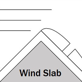
Wind Slab

Strong SW and S winds moving the new snow have built dense, reactive slabs in some areas, which if triggered could also trigger older layers. Be aware that this new snow layer could also be triggered in places that are not as wind affected, behaving more like a 'storm slab', with more aspects possibly dangerous.
| Sensitivity | The specific avalanche problem type is highly reactive to human rider triggers. |
| Distribution | Specific areas, with common characteristics. Evidence for instabilities exists, but it is not obvious and finding it requires careful observations. |
| Time of Day | All day |
| Trend | Deteriorating |
| Confidence | High |
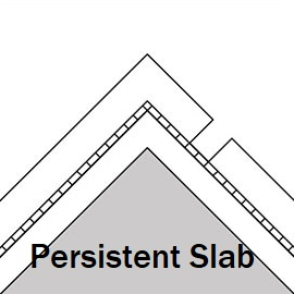
Persistent Slab

Weak facet layers in the lower half of the snowpack, in high alpine shady areas, could create a large avalanche event if triggered. As the snowpack warms, these layers are becoming moist and are less reactive, but they have still 'performed' in recent tests, especially in shallower areas (where the snowpack is less than about 140cm). There is a lot of new weight of wet snow that has been added over the last few days, and observations have shown that the old layers have released recently as wet slabs, up to about 2850m. Be very wary of wide, steep slopes in the high alpine especially on N aspects, and avoid common trigger points such as areas where the snow is shallow (e.g. near rocks) or steep convex roll-overs.
| Sensitivity | The specific avalanche problem type is difficult to trigger with a human rider. |
| Distribution | A few, isolated locations; evidence for instabilities is rare and hard to find. |
| Time of Day | All day |
| Trend | Improving |
| Confidence | Moderate |
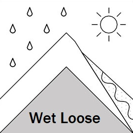
Loose Wet

The freezing level is lowering, but wet loose avalanches are possible where sun may get through the clouds and hit the new snow surface in steep areas. The danger is lower in the sub-alpine due to lack of snow, but beware of areas that still hold snow as rain or heating can make it move. If the sun makes an appearance, the surface layers will begin to move in steep areas.
| Sensitivity | The specific avalanche problem type is reactive to human rider triggers. Easy to trigger with ski cut. |
| Distribution | Specific areas, with common characteristics. Evidence for instabilities exists, but it is not obvious and finding it requires careful observations. |
| Time of Day | All day |
| Trend | No change |
| Confidence | High |
Recent Avalanches and Snowpack
Recent Avalanches:
Multiple wet loose and wet sab avalanches size 1 - 3 from many aspects and elevations were seen last week - observations limited by visibility in the last few days.
Snowpack:
Under the layer of new snow, the snowpack is warm and moist everywhere, even at high elevations on shady aspects. There are still loose snow crystals near the ground in the high alpine zone. A soft melt-freeze crust under the new snow was found at 2960m on a NW aspect, and the lower loose layer of old moist facets failed across the block in an ECT test at the same location. Another 30mm of rainfall recorded at 1950m in the last 3 days, bringing the total since March 31st to 100mm. This could be up to 60cm of snow at high elevations, affected by S 1/4 winds. Although there has been a little snow accumulation down to 2200m in the last few days, the previous rain has eroded most of the snowpack below 2500m on S aspects, with more snow surviving in some N aspect areas.
Weather
Strong S winds and more snowfall over the next 3 days with a fine spell possible on Friday morning. Freezing level 2700m lowering to 1600m by Friday
Disclaimer
Our avalanche forecasters are internationally qualified and experienced professionals, and data is provided by skilled observers. We encourage you to make your own observations and decisions, without relying solely on our forecast, since any forecast is a generalised 'best guess', and in certain cases it might be inaccurate. We can not be held liable for any actions you take in the backcountry that may result in injury, loss or death.